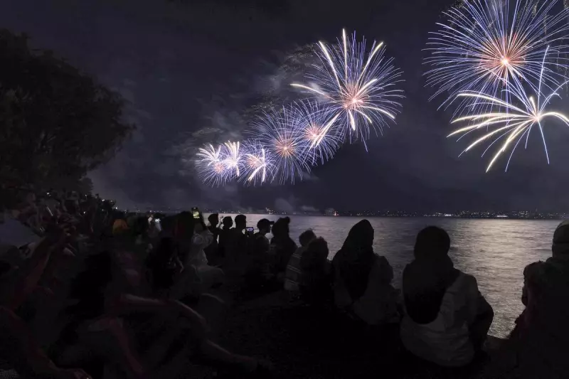
Perth is poised to deliver the finest New Year's Eve conditions across the entire nation, with a forecast combining scorching summer heat and a perfectly balmy evening ideal for celebrations.
A Stunning Summer's Day for Perth Revelry
The Bureau of Meteorology predicts the city will roast under clear skies, with the mercury climbing to a top of 35 degrees Celsius by 2pm on December 31. As thousands of families begin gathering along the foreshore for evening festivities, temperatures will become comfortably warm, dropping to around 25C by 8pm.
Those counting down to midnight will be treated to near-perfect conditions, with the bureau forecasting 22C and light winds as the clock strikes twelve. Senior forecaster Luke Huntington described the outlook as "boring" in the best possible way, cementing Perth's status as the prime location nationally to welcome 2026.
Coastal and Southern Forecasts for the Long Weekend
The excellent conditions extend beyond the capital. In Mandurah, a high of 32C is expected before cooling to 22C at midnight. For holidaymakers down south, Margaret River and Busselton should see a pleasant 30C maximum after midday, becoming a cooler 16C by the time the new year arrives.
Mr Huntington noted that the fresh easterly winds in the morning, followed by a strong sea breeze in the afternoon, could pose challenges for fire crews battling blazes south of the river. "It's gonna be quite, quite windy," he warned.
The summer heat is set to continue into New Year's Day, with Perth expecting another 35C day. This stands in stark contrast to other major cities: Sydney will be cloudy with a 26C max, Melbourne and Hobart only 19C, Brisbane a cloudy 30C, and Adelaide 25C with cloud cover.
Cyclone Threat and a Warning for the Season Ahead
While the south-west basks, northern Western Australia faces a severe tropical threat. Tropical Cyclone Hayley was due to make landfall on Tuesday night as a category three system. "That means 170 kilometres an hour gusts around that Cape Leveque area," Mr Huntington stated.
The cyclone is forecast to move eastwards and weaken to a tropical low early on New Year's Eve morning. Authorities have issued urgent warnings for residents north of Broome to Cape Leveque, including the Dampier Peninsula, to take immediate shelter. The Department of Fire and Emergency Services alert advised people to stay indoors, away from windows, and keep their emergency kits close.
Residents were also cautioned about higher-than-normal tides as the system approached the coast. Looking further ahead, Mr Huntington warned West Australians to brace for more extreme weather throughout the high-risk summer season, extending into March.
"We're in the middle of the high-risk weather season at the moment," he said, forecasting more tropical cyclones, extreme heatwaves, and severe thunderstorms for the months to come.
Meanwhile, on the opposite side of the continent, north Queensland is dealing with the aftermath of severe flooding. Several shires have been declared disaster zones, with heavy rainfall cutting off 37 roads and more flash flooding possible.


