Mobile Networks Transformed into Flood Sensors in Australian Tech Breakthrough
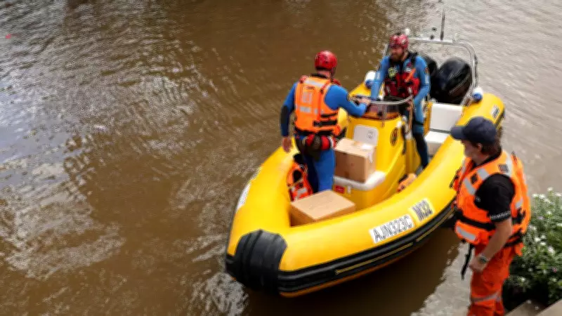
Australia has long been poetically described as a land "of droughts and flooding rains," yet devastating floods continue to catch communities off guard with alarming frequency. While the Bureau of Meteorology provides general storm forecasts, pinpointing the exact location, timing, and water volume of floods has remained an elusive challenge. However, a groundbreaking Australian innovation is set to change that paradigm entirely.
Revolutionary Flood-Sensing Technology
The TPG-UTS Network Sensing Lab, established in 2024 through a partnership between the University of Technology Sydney and TPG Telecom, has developed world-first technology that transforms mobile networks into integrated environmental sensors. This system can detect, monitor, and predict floods with unprecedented accuracy. Distinguished Professor Jay Guo, director of the lab, describes the technology as "revolutionary" in its approach to disaster management.
The initiative originated when the New South Wales State Emergency Service approached UTS researchers with a critical question: could flash flooding be predicted more precisely? The lab's subsequent work has demonstrated remarkable potential. Using the catastrophic 2022 Lismore floods as a case study, researchers found that if their technology had been operational, it could have accurately predicted both the magnitude and geographic scope of the event, providing invaluable advance warning to residents and emergency services.

How the Network Sensing Technology Works
Des Ward, general manager of the TPG-UTS Network Sensing Laboratory, explains the innovative approach: "We provide the network infrastructure and radio engineering resources that allow researchers to analyze radio signals in minute detail. This enables them to detect subtle environmental changes that indicate developing flood conditions."
The technology essentially repurposes existing mobile network infrastructure in ways never previously imagined. By monitoring how radio signals interact with the environment, the system can identify the early signs of flooding as they develop. This represents a significant departure from traditional weather monitoring methods and leverages infrastructure that already blankets populated areas.
Real-Time Disaster Information and Future Applications
Once fully operational, the network will provide real-time information throughout disaster events. This includes predicting which infrastructure will be affected, identifying areas at risk of power loss during floods, and determining where emergency generators might be needed most urgently. Such detailed forecasting helps both residents and first responders prepare more effectively.
"People need information leading up to a disaster, during the event, and after it occurs," Ward emphasizes. "Our technology plays a crucial role in providing that continuous stream of actionable data."
While the technology has already proven effective in field tests, researchers indicate that further refinement and testing are necessary before widespread deployment. The system is expected to become available for practical use within three to five years, potentially transforming how Australia manages its perennial flood risks.
This Australian innovation represents a significant advancement in disaster preparedness, turning everyday telecommunications infrastructure into a life-saving early warning system against one of the nation's most persistent natural threats.