Ex-Tropical Cyclone Narelle Poses Renewed Threat to Western Australia
Western Australia remains on high alert as ex-tropical cyclone Narelle, which has moved offshore, is forecast to redevelop and could reform as a tropical cyclone by Tuesday night. The system is far from dissipating, with severe weather warnings in effect for coastal regions.
Severe Weather Warnings and Current Conditions
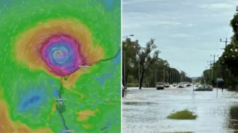
A severe weather warning for damaging winds and possible heavy rainfall is currently in place for the area from Beagle Bay to Kuri Bay, located north of Broome in WA's Kimberly region. Winds near the centre of the tropical low are reaching speeds of 55km/h, with gusts up to 85km/h, posing significant risks to residents and infrastructure.
Authorities have issued urgent warnings for people in danger zones to prepare for isolated heavy rainfall, which could lead to flash flooding across parts of the north Kimberley this morning. Gales with damaging wind gusts up to 90 km/h may develop along the coast between Kuri Bay and Beagle Bay from later this morning, though these are expected to ease by Wednesday morning as the system moves further away from the west Kimberley coast.

Forecasted Intensification and Movement
The system will continue moving parallel to the Pilbara coast throughout today and Wednesday. It is forecast to reach severe category 3 intensity by Wednesday evening, indicating a significant escalation in its destructive potential.
While the system is likely to remain out to sea north of the Pilbara on Wednesday, associated gales may extend south and over the Pilbara coast. Later in the week, the system is expected to begin turning towards the WA coast, potentially late Thursday or early Friday.
Potential Impact Zones and Extended Effects
The cyclone is likely to cross the coast in the Central West or Gascoyne regions, but it could also impact the west Pilbara given the unpredictability of the system. Gales with damaging wind gusts up to 100 km/h may develop along the coast between Wallal Downs and Port Hedland from Wednesday afternoon, especially if the system takes a track further south.
Gales may extend further west to Cape Preston, including Karratha, from Wednesday night into Thursday morning, broadening the area at risk. Impacts of the wild system could be felt as far south as Perth later in the week, with up to 30mm of rain expected for the capital city on Friday, highlighting the extensive reach of this weather event.
Residents across affected regions are urged to stay informed through official channels and take necessary precautions as ex-tropical cyclone Narelle continues to evolve and threaten Western Australia with severe weather conditions.