Far North Queensland Residents Vigilant as Cyclone Maila Develops Near Solomon Islands
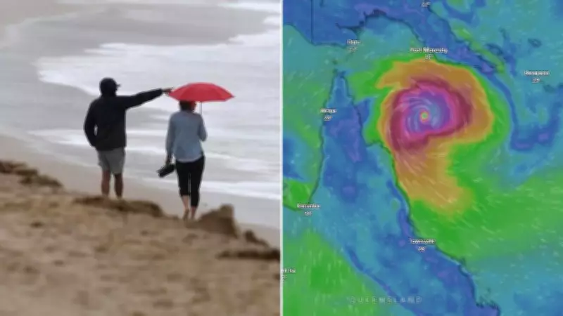
Wary residents in Far North Queensland are maintaining a close watch on a newly formed cyclone off the Solomon Islands, with significant uncertainty persisting regarding its future path. Severe Tropical Cyclone Maila is currently positioned between Papua New Guinea and the Solomon Islands, according to the latest updates from the Bureau of Meteorology (BOM).
Current Status and Forecast for Cyclone Maila
The cyclone is expected to linger in the region for the next few days before shifting westward, potentially moving towards the Far North Queensland coast later in the week. BOM senior meteorologist Liam Smart provided detailed insights, stating, "Severe Tropical Cyclone Maila is currently situated in the Solomon Sea. It has been there for several days and will likely remain for the next couple of days as well." He further noted that the system is slowly intensifying into a category 3 cyclone and is located approximately 1300 kilometers northeast of Cairns.
Forecasts indicate that Maila could cross the Queensland coastline as early as late this week or early next week. Smart emphasized, "It's still highly uncertain, but we're predicting a forecast track towards the Queensland coastline." The uncertainty is largely due to the slow-moving nature of the cyclone, which complicates precise trajectory predictions.

Potential Scenarios and Historical Comparisons
Several scenarios are under consideration, including the possibility of Maila crossing closer to Papua New Guinea or weakening due to cooling its own warm water supply, a critical factor for maintaining its strength. Smart explained, "There's quite a few dynamic things at play at the moment that are causing some uncertainty, but there is general increased confidence in it heading towards the Queensland coastline."
The potential landfall area spans from the tip of the Cape York Peninsula down to around the Port Douglas region, though the system's strength at the time of crossing remains unknown. Some models suggest Maila might follow a similar path to Severe Tropical Cyclone Narelle, which made landfall near Coen last month as a category four system after peaking at category five offshore. Narelle crossed Queensland and the Northern Territory before re-intensifying and impacting the Western Australia coastline.
Broader Implications and Preparedness
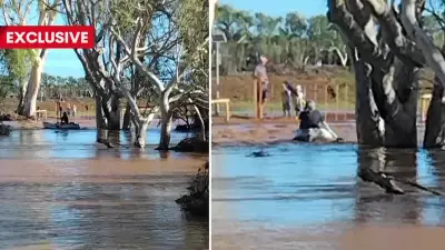
If Maila makes landfall this weekend, it would mark the third tropical cyclone to hit Queensland this year, highlighting an active storm season. Residents are urged to stay informed through official channels and prepare for possible severe weather conditions. The Bureau of Meteorology continues to monitor the situation closely, providing updates as new data becomes available to refine forecasts and ensure public safety.