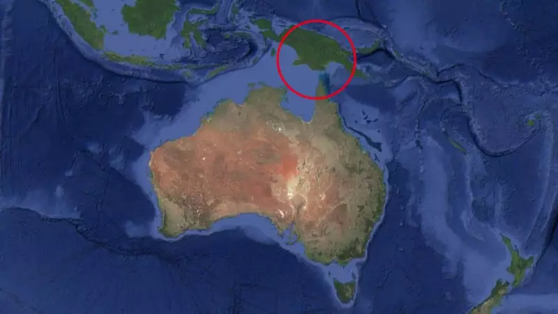
A moderate 5.5 magnitude earthquake struck Papua New Guinea in the early hours of Tuesday morning, rattling the Southern Highlands Province of the island nation. The seismic event occurred just southwest of the town of Mendi, approximately 3am local time, according to data from Geoscience Australia.
Shallow Depth Raises Concerns for Potential Damage
The earthquake was recorded at a depth of 9 kilometres, which is considered relatively shallow for such events. Shallow earthquakes, even those of moderate magnitude, can prove particularly damaging as they occur closer to the Earth's surface, transmitting energy more directly to infrastructure and communities.
"For shallow earthquakes with magnitudes larger than 6, they are usually very destructive in producing significant damages to the infrastructure and society," according to Earthquake Science. While this tremor measured 5.5, its shallow nature underscores the potential risks associated with seismic activity in the region.

Monitoring and Impact Assessment
Geoscience Australia reported that the tremor was detected by instruments at seismograph stations in North Queensland and Darwin. However, authorities confirmed there would have been no perceptible shaking felt in Australia, and no tsunami alerts have been issued for Australian coastal areas.
At this stage, it remains unclear how many people were directly affected by the quake in Papua New Guinea. The Southern Highlands Province has a population of 602,085, with approximately 28 per cent of residents living in Mendi, according to 2024 Census data. Assessment of any damage or injuries is likely ongoing.
Recent Seismic Activity in the Region
This earthquake follows a pattern of recent seismic activity in Papua New Guinea. Just one week prior, a 5.9 magnitude earthquake struck the northeast coast of the country near Madang, as reported by The United States Geological Survey (USGS).
The recurrence of moderate earthquakes in different parts of the island nation highlights the ongoing tectonic activity in the region, which sits along the Pacific Ring of Fire—an area known for frequent earthquakes and volcanic eruptions.
Geoscience Australia continues to monitor seismic activity in the region, providing data and analysis that contributes to understanding earthquake patterns and potential risks for both Papua New Guinea and neighbouring areas including northern Australia.