Townsville Council Implements Speed Reductions on Rural Route Following Google Maps Navigation Issues
Townsville City Council has announced a decision to lower speed limits on a specific rural road after reports emerged of hazardous detours being recommended by Google Maps. This move is part of a broader initiative to address safety concerns that have arisen due to navigation apps directing drivers onto unsuitable routes.
Background of the Safety Concerns
The issue came to light when local residents and authorities noted an increase in traffic on the rural road, which was not designed to handle high volumes or speeds. Google Maps, a widely used navigation tool, had been suggesting this route as a shortcut or alternative during peak travel times or road closures, leading to potential dangers for motorists unfamiliar with the area.
Council officials stated that the road's infrastructure, including narrow lanes and limited visibility, posed significant risks when combined with higher speeds. Incidents of near-misses and minor accidents prompted a review, culminating in the decision to implement reduced speed limits to mitigate these hazards.

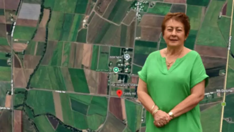
Details of the Speed Limit Changes
The council will officially slash the speed limit from the previous 100 km/h to 80 km/h on the affected rural road. This adjustment is expected to be enforced within the coming weeks, with new signage and public awareness campaigns to inform drivers of the changes.
- The speed reduction applies to a 5-kilometer stretch of the road, identified as a high-risk zone.
- Authorities will monitor compliance and assess the impact on traffic flow and safety over the next six months.
- Additional measures, such as improved road markings and warning signs, may be considered if needed.
This proactive step aims to prevent accidents and ensure that drivers, especially those relying on digital navigation, can travel safely without compromising local road conditions.
Broader Implications for Navigation Technology and Road Safety
The situation highlights a growing challenge in the digital age: the reliance on navigation apps that may not always account for local road conditions or safety standards. Townsville City Council's response underscores the importance of local governance in adapting to technological advancements while prioritizing public safety.
Experts suggest that similar issues could arise in other regions, prompting councils to review their road networks and collaborate with tech companies to improve mapping accuracy. For now, the council encourages drivers to exercise caution and consider alternative routes when using navigation apps in rural areas.
This incident serves as a reminder that while technology offers convenience, it must be balanced with real-world safety considerations to protect communities and enhance overall road infrastructure.