Severe weather warnings are currently in effect across multiple Australian states for blizzards, damaging winds, and abnormally high tides as a complex low-pressure system sweeps the nation. The Bureau of Meteorology has issued alerts for millions of residents in New South Wales, Victoria, and South Australia.
Damaging Winds and Blizzards Expected
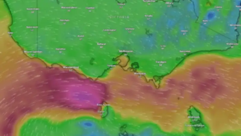
The Bureau of Meteorology has warned that a complex low-pressure system could generate dangerous winds of up to 90 km/h for parts of New South Wales and Victoria over the coming days. While these windy conditions eased on Wednesday morning, they redeveloped in the afternoon and continued to roar through the Victorian Alps, southern Victoria, and central New South Wales through Thursday evening. Meteorologist Jonathan How stated that these damaging wind conditions are likely to create blizzard conditions in the Snowy Mountains and Victorian Alps. “We could see those damaging winds redevelop on Thursday night and into Friday, including for the Illawarra and also the Northern Ranges,” Mr. How said.
Abnormally High Tides and Coastal Hazards
The same weather system is forecast to bring abnormally high tides along the Victorian coastline. Coastal hazard and flood warnings are in place due to the potential flooding of low-lying coastal areas. Sea levels remain high for central and eastern coasts into Thursday. Flood warnings issued for South Australia remain in effect as the deep low-pressure system moves eastward over the Tasman Sea. “We do have a complex low-pressure system over Tasmania. We have multiple centres of rotation scattered across the south,” Mr. How explained. He added that a cold front and an occluded front would bring widespread showers for most of the southeast region, including South Australia, inland New South Wales, Victoria, and Tasmania. These showers are expected to continue until the end of Thursday.

Ski Season and Long Weekend Forecast
Ahead of the long weekend and the opening of the ski season, the bureau has forecast snow totals between 5 and 25 cm across the ski resorts. Senior meteorologist Angus Hines said that winds over the alpine areas have been quite strong, with gusts up to 100 km/h recorded on Tuesday. “At the moment it’s very windy and we’re also seeing some snow showers,” he said. “For anyone who’s on the mountains now, potentially some very bad visibility, which is often what you get when it’s snowing and it’s very windy at the same time. Perhaps it’s not the nicest out there at the moment, but as the weather system causing all the strong winds moves away later this week, it will settle down across those mountain areas.” Mr. Hines noted that weather conditions would improve by around Friday, leading to quite settled weather. “Relatively calm, quite bright, it’ll still be quite cool, but it should be a nice few days throughout the long weekend up on those mountains,” he said.
Temperature Outlook Across Capital Cities
Heading into the weekend with the complex weather system active in the southeast, temperatures remain quite low across capital cities except Sydney. On Wednesday and Thursday, Sydney’s maximum temperatures will hover around 19 to 20 degrees Celsius. Melbourne’s highest temperature on Thursday is forecast to hit 14 degrees Celsius, with an overnight low of 10 degrees. Canberra remains cool with a maximum temperature of 11 degrees on Thursday, just 6 degrees above the overnight minimum of 5 degrees. Hobart’s weather will be warmer, with overnight temperatures at 9 degrees before daytime temperatures of 13 degrees on Thursday. Adelaide’s maximum temperatures will reach 15 degrees, with an overnight minimum at 10 degrees. Up on the east coast, Brisbane’s conditions are much warmer, with maximum daytime temperatures at 22 degrees and an overnight minimum of 13 degrees. Out west, Perth will have a chilly night similar to Canberra, with an overnight low of 6 degrees into Thursday, while the daytime maximum is expected to climb to 19 degrees. Darwin will be the warmest capital on Thursday, with maximum temperatures at 31 degrees and an overnight minimum at 20 degrees.