The Bureau of Meteorology has delivered reassuring news for Far North Queensland residents, stating a tropical low pressure system in the Coral Sea is very unlikely to develop into a tropical cyclone.
System Tracking Away From the Coast
As of Tuesday morning, the tropical low was situated approximately 800 kilometres east-northeast of Cairns. The system is moving in a south-southeasterly direction, taking it further away from the Queensland coastline. This movement into less favourable conditions significantly reduces any risk of cyclone formation.
"The system is moving into a higher shear environment, so the chance of it developing into a tropical cyclone is very low," a Bureau spokesperson confirmed. The primary impact for the mainland will be an increase in shower activity associated with a separate, broad monsoon trough.

Monsoon Trough to Bring Increased Showers
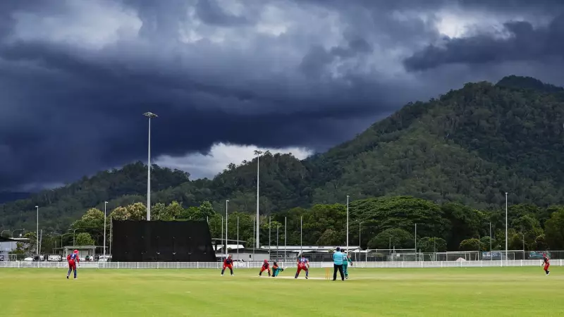
While the offshore low poses little threat, the Bureau is monitoring a monsoon trough stretching across the Gulf of Carpentaria and Cape York Peninsula. This feature is expected to deepen later in the week, potentially leading to a rise in shower and thunderstorm activity for parts of Far North Queensland.
The forecast for Cairns and surrounding areas indicates a high chance of showers from Wednesday through the weekend, with possible thunderstorms. However, no significant or widespread severe weather is currently anticipated from this trough.
Community Advised to Stay Informed
Authorities emphasise that while the immediate cyclone threat is minimal, the wet season is ongoing. Communities are encouraged to stay updated with the latest forecasts and warnings from the Bureau of Meteorology.
The Bureau's next formal update on the tropical low is scheduled for Wednesday, unless the situation changes unexpectedly. The overall message remains one of cautious optimism, with the major weather system expected to remain well offshore and continue to weaken.