
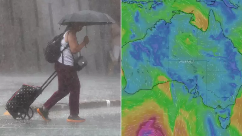
Queensland is on high alert as a strengthening monsoon trough threatens to unleash potentially devastating storms and significant flooding across already sodden regions. The Bureau of Meteorology has issued urgent warnings for communities to prepare for intense rainfall and dangerous conditions.
Monsoon Trough Gains Strength, Targets Multiple Regions
The Bureau of Meteorology has urged residents across the state's northwest and northeast to take immediate action as a monsoon trough picks up strength from Saturday night. This weather system is forecast to deliver the heaviest initial impacts to the Gulf Country, Northern Goldfields and Upper Flinders, North West and Central West forecast districts.
Meteorologists warn that six-hourly rainfall totals between 60 to 110 mm are likely, with isolated deluges of up to 150 mm possible. Areas in the firing line include Mount Isa, Camooweal, Cloncurry, Julia Creek, Richmond, Kamilaroi Station, Augustus Downs Station, Corfield and Riversleigh Station.

Heavy rain has already begun, with the sodden northwest recording more than 100mm at Gregory Downs in the past 24 hours and 82mm at Kingfisher Camp near the Northern Territory border.
Eastward Push and Widespread Flood Threats
The trough is then expected to push eastwards, combining with a very humid airmass to trigger multiple showers and thunderstorms. Townsville, Palm Island, Ingham, Cardwell, Tully and Rollingstone are among the communities that will face the deteriorating conditions.
Authorities are advising residents to take crucial safety steps before the storm hits:
- Park vehicles undercover and away from trees.
- Secure properties by closing doors and windows.
- Ensure mobile phones and power banks are fully charged.
- Move pets to a safe location.
The heavy rainfall is expected to persist into the coming week, with some regions tipped to receive more than 300mm, significantly raising the flood risk across a broad area.
Major Flood Warnings Issued for Western Rivers
The Bureau of Meteorology has activated a broad Flood Watch extending from the eastern Queensland coast, through the state's west and into the Northern Territory. Specific river warnings are now in effect, indicating the serious nature of the impending event.
A Major Flood Warning is current for the Flinders River in western Queensland. Additionally, Moderate Flood Warnings have been issued for the Cloncurry and Western Rivers, while a Minor Flood Warning is active for the Norman and Gilbert Rivers.
The bureau cautions that flooding has the potential to isolate communities and cut off essential access routes. Residents are strongly urged to remain up to date with the latest official warnings and follow all advice from emergency services as this severe weather event unfolds.


