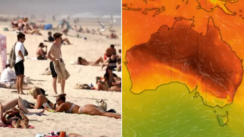
A dangerous heatwave gripping large parts of Australia is set to reach its peak intensity today, with temperatures forecast to soar above 40 degrees Celsius in multiple locations, exacerbating extreme fire danger conditions.
Heatwave Conditions Peak Across Multiple States
Senior meteorologist Christie Johnson warned that severe heatwave conditions continue over Sydney and Eastern New South Wales. Temperatures are expected to climb rapidly throughout the morning, peaking at around 39C in the Sydney CBD. Western Sydney will bear the brunt of the heat, with Penrith forecast to reach a scorching 41C.
"Often the third day is the most dangerous day for heatwave conditions due to the heat build up over a few days and the warm nights overnight not giving much relief from that heat," Johnson explained. Coastal areas of NSW will see mid to high 30s, while inland regions face highs in the low 40s.

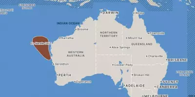
The extreme heat is not confined to NSW. The Bureau of Meteorology has issued an extreme heatwave warning for Western Australia's Kimberley, Pilbara and northern interior. Severe heatwave warnings are also current for northwestern Queensland and the northwestern Northern Territory, specifically the Daly and Gregory districts.
Extreme Fire Danger and Bushfire Threats
The combination of intense heat, dry landscapes and windy conditions has created a tinderbox environment. Extreme fire danger ratings have been declared for Sydney, the Hunter and the Illawarra regions. The NSW Rural Fire Service has implemented total fire bans across many areas.
"Extreme fire danger means that any fires that start today will be very hard to control," Johnson stated, urging residents in affected zones to action their Bushfire Survival Plan. Smoke from existing blazes in western NSW is likely to drift over the Hunter and parts of Sydney.
Further south, a bushfire Watch and Act alert remains for Dolphin Sands and surrounding areas in Tasmania. Residents cannot yet return after fires damaged properties and cut power to hundreds of homes on Thursday.
Adding to the concern, the Bureau forecasts possible thunderstorms from the afternoon across much of NSW. "This does increase the possibility of dry lightning, which can ignite new fires," Johnson cautioned.
Cool Change Incoming, But Storm Risk Remains
Relief is on the horizon for many, with a cool southerly change expected to move up the NSW coast late Saturday. The change is predicted to reach Sydney around dawn on Sunday, bringing significantly cooler conditions to most of the state, though northeastern NSW will remain hot.
However, Sunday introduces new weather risks. Thunderstorms are possible in parts of the Hunter, the Mid North Coast, the Northern Rivers, and the Northern Tablelands, bringing the potential for damaging winds, large hail, and heavy rainfall. Similar storm activity is likely to build over southeast and Southern Queensland, including Brisbane and the Gold Coast.
Authorities continue to stress the importance of heat safety during the peak of this severe weather event, advising people to stay hydrated, avoid the sun during the hottest part of the day, and check on vulnerable neighbours.