Holidaymakers and residents across northern Australia are being urged to stay alert as a complex and unpredictable weather scenario unfolds, featuring the lingering ex-tropical cyclone Koji and a new tropical threat developing near Vanuatu.
Koji's Potential Comeback in the Gulf
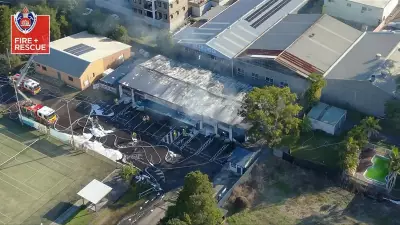
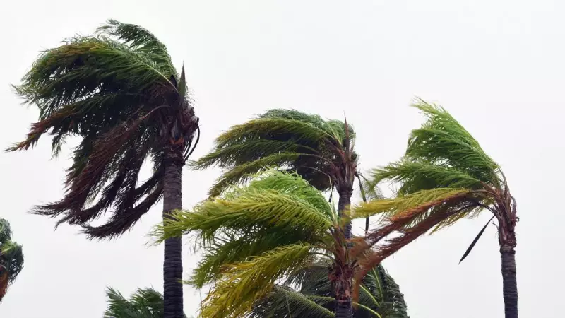
While continuing to dump rain and cause major flooding across far north Queensland, ex-tropical cyclone Koji is not done yet. The Bureau of Meteorology has revealed data indicating the system could potentially reform into a tropical cyclone as it moves northwest over the warm waters of the Gulf of Carpentaria.
Senior meteorologist Angus Hines explained that low-pressure areas over these warm waters have an elevated chance of strengthening. "If Koji did sort of swing back out over the water, it might see an elevated chance of strengthening into a stronger tropical low or a very outside chance of strengthening back into a tropical cyclone," Hines said.

While currently considered an unlikely outcome, the bureau has not ruled it out. Should it happen, the system would regain the name Tropical Cyclone Koji and likely track eastward, potentially bringing renewed weather impacts to far North Queensland, the Cape York Peninsula, and Gulf Country.
A New Weather System Set to Peel Off
As Koji's core weakens upon approaching the coast, forecasters are watching for a second, separate development. The remnants of Koji are expected to spawn a new low-pressure system that will peel off and move west through the Northern Territory towards the Western Australian Kimberley region.
This new low could bring rain and storms to Darwin and other areas in the Top End in the coming days. Hines described it as dragging the moist, humid air from Koji's remnants into a separate tropical low. The weather bureau has given this fledgling system a moderate chance of developing into a tropical cyclone off the Kimberley coast from Tuesday onwards. If it forms, it will be given a fresh name.
"That will be the more significant system to watch over the next three to four days," Hines advised.
Holidaymakers Warned of Cyclone Risk Near Vanuatu
Separately, a significant weather development is occurring just outside Australia's area of responsibility, posing a direct threat to a popular holiday destination. A large low-pressure system, designated 14U, is developing west of New Caledonia and has a high chance of developing into a tropical cyclone as early as the beginning of next week.
"New Caledonia and Vanuatu are probably the two countries that could get most heavily impacted," Hines stated. The warning is particularly relevant for Australian tourists visiting the region during the summer holidays. Updates will be provided by the Fijian Meteorological Service.
While not expected to make direct landfall in Australia, the system could still affect the eastern coastline. Increased swells and larger waves are likely through next week for Queensland and New South Wales. By mid-next week, the system may track southeast, moving closer to Norfolk Island, where residents should monitor forecasts closely.