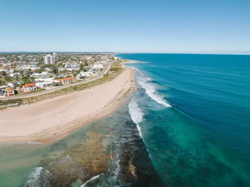
The City of Mandurah is calling on its community to help shape the long-term future of its cherished southern coastline. Local residents are being asked to provide feedback on a draft 100-year Coastal Hazard Risk Management and Adaptation Plan (CHRMAP), designed to address the risks posed by changing coastlines.
A Century of Coastal Planning
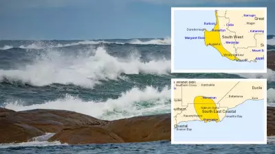
This comprehensive draft plan, developed by experts after more than a year of planning and initial community engagement, focuses on the coastal stretch from Roberts Point in Halls Head to Clifton. Its primary goal is to identify the potential impacts of coastal hazards over the next century, including erosion, rising sea levels, flooding, and severe storms. These risks affect not just the shoreline itself but also nearby public infrastructure like parks, footpaths, and buildings.
The document doesn't just outline problems; it proposes practical solutions to allow the city to proactively manage these environmental challenges if and when they arise. This follows the finalisation of a similar plan for Mandurah's northern beaches, from Madora Bay to Halls Head, in 2022. That earlier plan led to key projects, including a coastal protection assessment for Doddi’s Beach and design upgrades for Town Beach's seawall.

Community Concerns and Clarifications
Mayor Amber Kearns emphasised that managing the coastline is a long-term responsibility for the council. "Mandurah’s coastline is one of our greatest treasures," Ms Kearns said. "It is a huge part of who we are and the relaxed coastal lifestyle we love. At the same time, we know our coastline faces challenges like erosion, and that means we need to plan ahead."
The call for feedback gained extra attention recently after Mayor Kearns used social media to address specific community worries. She moved to reassure locals that the draft CHRMAP did not equate to a "sneaky" plan to close popular 4WD beach access points at Tim’s Thicket and White Hills Beach.
"No decision has been made by council to close 4WD access at these locations," Mayor Kearns stated clearly. "Any permanent change would need to come through council and involve a public process. The current work underway relates to CHRMAP. This is about understanding risks along our coastline and planning for the future, not beach closures."
How to Have Your Say
The Mayor encouraged all interested community members to review the plan and participate in the ongoing consultation. "Hearing what matters most to locals helps us focus on what really counts," she noted.
The public feedback period for the southern beaches CHRMAP is open now and will close on January 31, 2026. Residents can submit their views through the City of Mandurah's official Mandurah Matters engagement platform online.
Additionally, the city has organised two community drop-in sessions for face-to-face discussion:
- January 14, 5pm to 7pm, at the City of Mandurah’s Tuckey Room.
- January 17, 10am to noon, at the Halls Head Parade Community and Sports Facility.
This consultation represents a critical opportunity for Mandurah residents to influence how their iconic beaches are protected and managed for generations to come.