Dalaroo Metals Maps 2km Gold Corridor in Côte d'Ivoire's Birimian Terrane
Dalaroo Metals has initiated systematic geological mapping at its newly acquired Goldridge project in the Bondoukou region of Côte d'Ivoire, with early fieldwork already outlining a coherent 2-kilometre-long gold corridor within the prolific Birimian terrane. This field program represents the company's first structured exploration work in this renowned gold country, targeting an impressive 9km of prospective strike length along a prominent northwest-southeast trend.
Early Positive Signs from Artisanal Mining
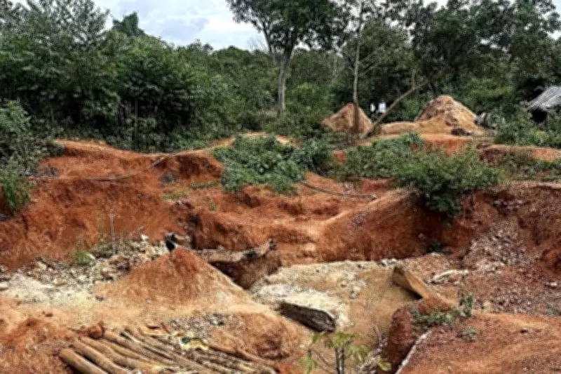
Reconnaissance work has confirmed widespread artisanal mining across the permit area, with the most advanced activity centred at the Amodi prospect. These workings trace a mineralised corridor over roughly 2km of strike, serving as a robust surface marker in a region where artisanal miners often only scratch the shallow expression of larger shear-hosted systems. Field observations suggest the mineralisation is hosted in silicified metasedimentary rocks, with structural measurements indicating a dominant northwest-southeast fabric that dips toward the northeast.
Notably, this orientation aligns with secondary structures in the regional Birimian deformation framework, the same greenstone architecture that underpins multiple multi-million-ounce gold deposits across Côte d'Ivoire and neighbouring Ghana. Six representative rock-chip samples have already been fast-tracked to Intertek for gold and multi-element analysis, with assays currently pending.

Classic West African Gold Country Setting
The overall geological setting is classic West African gold country, characterised by extensive greenstone belts, structural complexity, and long-lived fluid pathways capable of generating significant, structurally controlled mineralisation. Goldridge sits approximately 35km from the lucrative 4.5-million-ounce Tanda gold deposit operated by Endeavour Mining, within a belt known for large-scale shear zones and favourable volcanic–granitoid contacts.
Dalaroo notes that Bondoukou features geology similar to Tanda, with numerous shear zones and lithological contacts that serve as perfect hosts for channelled gold fluids. To sharpen targeting, the company has completed high-resolution drone coverage across the principal artisanal area, mapping approximately 2km of strike. This drone imagery has confirmed continuity of artisanal excavations along the northwest-southeast corridor and highlighted structural lineaments and alteration footprints that will guide future trenching and drill-collar placement.
Infrastructure and Exploration Strategy
To support sustained exploration, Dalaroo has established a dedicated field camp at Tagbane village, about 20km from the main workings. This camp has improved logistics, providing easier access to priority targets and a base for ongoing stakeholder engagement as exploration accelerates. While Goldridge remains at an early exploration stage with no mineral resources defined, the combination of coherent structural architecture, 2km of artisanal activity, and a 9km prospective strike corridor places Dalaroo firmly in the favourable discovery phase.
As gold continues to trade near record highs and margins expand across West African operations, early-stage projects with shallow artisanal footprints and clear structural corridors are attracting renewed attention. In this gold price environment, even modest discoveries can quickly become meaningful development stories, positioning Dalaroo to potentially leverage both favourable geology and a buoyant bullion market.