The Bureau of Meteorology (BoM) and other international agencies are forecasting that an El Niño weather phenomenon is likely to develop in the coming months, bringing hotter and drier conditions to eastern Australia. According to the BoM, models indicate the forecast El Niño will be at least moderate in strength, with a strong event possible.
Imminent Transition to El Niño
Felicity Gamble, a senior BoM climatologist, stated that the models are now aligning, and a transition to El Niño is expected sometime during winter. The World Meteorological Organization reported a 90% chance of an El Niño developing in the Pacific before November, a phenomenon historically linked to hotter and drier conditions for Australia's east coast.
Understanding El Niño
El Niño is the warm phase of the El Niño-Southern Oscillation (ENSO), a key driver of global climate. During an El Niño, sea surface temperatures in the central equatorial Pacific become warmer than average, shifting atmospheric circulation. This results in reduced atmospheric moisture and heavy rainfall over northern Australia, with the moisture moving to the central and eastern Pacific.

Gamble explained that to confirm an El Niño event, a corresponding atmospheric response is needed. While signs are emerging, the transition is not yet fully established.
Potential Impacts on Australia
The BoM noted that the forecast El Niño, the first since spring 2023, could be at least moderate in strength, with the possibility of a strong event. However, Gamble emphasized that the strength of an El Niño does not directly correlate with the severity of impacts in Australia, as other climate patterns like the Indian Ocean dipole and southern annular mode also influence local weather.
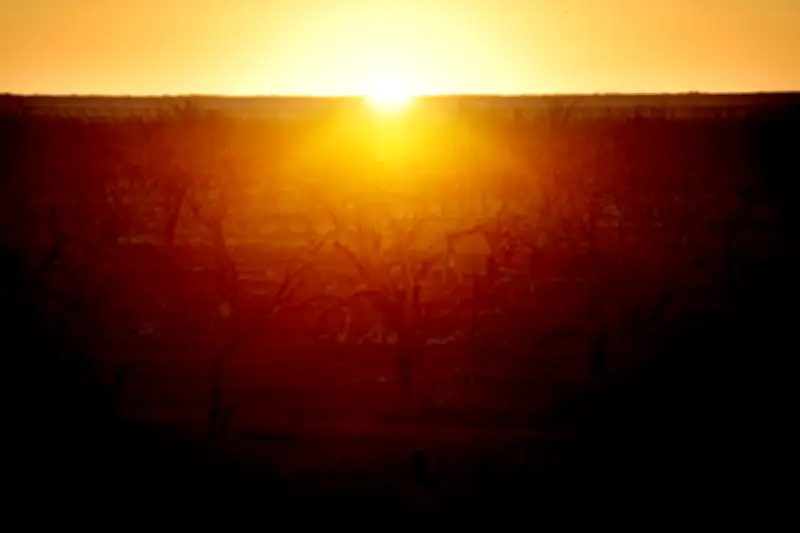
In Australia, El Niño typically leads to warmer-than-average temperatures across most of the south and is associated with increased risks of drought, heatwaves, bushfires, and coral bleaching. For eastern Australia, nine of the ten driest winter-spring periods on record have occurred during El Niño years.
Gamble noted that El Niño does not immediately trigger drought or fire risk; the situation is more nuanced, depending on recent conditions. The influence of El Niño is strongest during winter and spring and tends to diminish in summer, unlike La Niña.
Climate Change Amplifies Risks
Dr. Andrew Watkins, a Climate Councillor and former head of climate prediction at the BoM, warned that climate change and El Niño form a dangerous combination. Climate change is already increasing drought frequency, bushfire weather, and extreme heat, and it reinforces some of El Niño's impacts.
Watkins explained that the strength of an El Niño, measured by sea surface temperature anomalies in the central tropical Pacific, does not automatically determine impacts in Australia. However, each El Niño event has historically led to periods of hotter and drier conditions. Climate change tends to amplify existing variability, making dry periods exceptionally dry and wet periods prone to downpours.
Global and Model Outlook
A summary of climate models from the Columbia Climate School shows a wide range of possibilities for Pacific temperatures, but there is near-unanimous agreement that an El Niño will form. Globally, El Niño can cause extreme rainfall and floods in the southern US and Central America, as well as failed monsoons on the Indian subcontinent.
Australia must prepare for the imminent return of El Niño, with the BoM and other agencies closely monitoring developments. The coming months will be critical in determining the strength and exact impacts of this weather phenomenon.