The Bureau of Meteorology has issued its first track map for Tropical Low 29U, which is currently moving north-west in the Coral Sea. The system is expected to turn south-west later today and make landfall on the north tropical coast as a possible cyclone on Friday morning, between Cooktown and Lucinda.
Senior meteorologist Shane Kennedy said there is a 45 per cent chance the low will develop into a tropical cyclone over the next two days as it approaches the coast. If declared, the cyclone could be named Narelle or Owen, with another tropical low off Western Australia also potentially developing.
Heavy rainfall is forecast from Thursday, with daily totals of 50 to 100 millimetres expected between Cooktown and Ingham, and isolated falls of up to 200 to 300 millimetres possible. The region is already under a flood watch, with catchments very wet from recent rains.

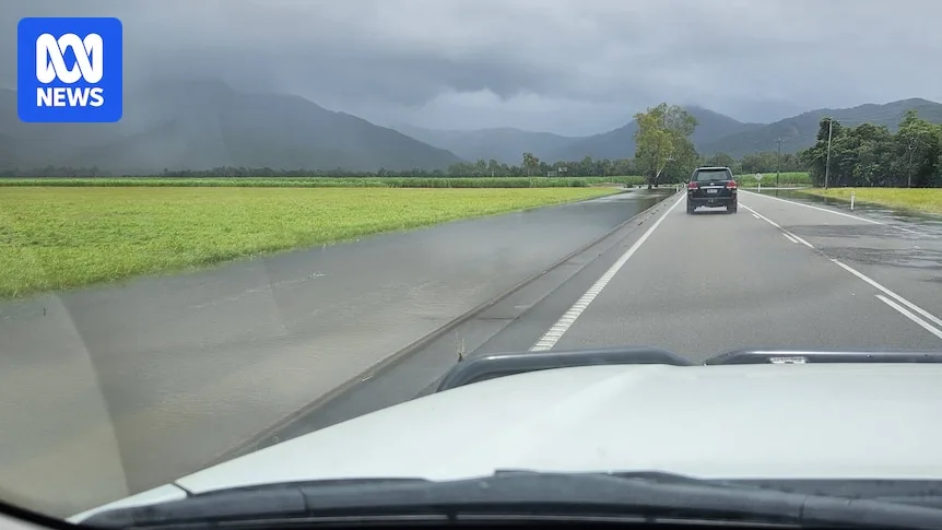
Floodwaters are still draining across the region after a deluge earlier this week that stranded travellers and cut roads. The Bruce Highway north of Ingham reopened on Tuesday, but some residents remain isolated by surface water. Mr Kennedy noted a brief lull before the low arrives, with heavy rainfall contracting north around the Mossman area, where over 200 millimetres fell recently.
After landfall, Tropical Low 29U may draw deep moisture across a broad part of the state, potentially increasing rainfall in eastern districts down to the south-east late this week and into the weekend. In western and south-western Queensland, catchments remain in flood after heavy rain last week, with major flood warnings expected to continue for several weeks.