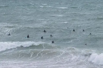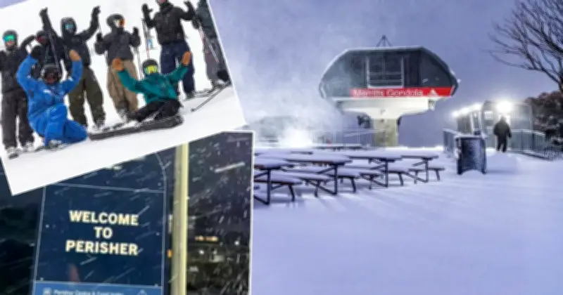
New South Wales ski resorts have finally received a substantial dump of snow after a warmer-than-average June that had left slopes bare. The Bureau of Meteorology has forecast up to 40 centimetres of snow at Thredbo and Perisher by Sunday, bringing relief to ski operators and winter sports enthusiasts.
Snowfall Details
The snowfall began on Friday and is expected to continue through the weekend. According to the Bureau, the snow level will drop to around 1200 metres, ensuring good conditions at higher elevations. Thredbo reported 15 centimetres of fresh snow by Saturday morning, with Perisher recording similar amounts.
Warmer June Impact
June 2024 was the warmest on record for parts of NSW, with temperatures averaging 2-3 degrees Celsius above normal. This delayed the start of the ski season and forced resorts to rely on artificial snowmaking. Perisher had opened only a few runs, while Thredbo had limited terrain available.

Forecast and Outlook
The cold front bringing the snow is expected to move through quickly, with conditions clearing by Monday. However, another system may bring further snow mid-week. Ski resort operators are optimistic that the snowfall will allow them to open more runs and attract visitors during the school holidays.
"This is the snow we've been waiting for," said a spokesperson for Perisher. "It's going to make a huge difference to our season."
Impact on Ski Season
The late snowfall has been a blow to the ski industry, which relies on consistent snow cover to draw tourists. The warmer June also affected snowmaking, as temperatures were too high for artificial snow production. With the current dump, resorts hope to salvage the season, though snow depths remain below average for this time of year.